EPO on foot. From Collbató to Corbera and ending in Viladecans.
REMEMBER: It is advisable to divide the route into several stages suited to your physical level. Keep in mind that you will be walking at 4 km per hour, and for every 300 meters of uphill elevation, you need to add one more hour of walking.
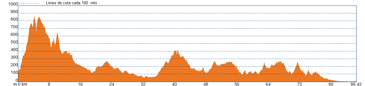
We will begin the route from the parking lot at the Aeri in Monistrol. We’ll follow the river along the roadside until we reach the pumping station that carries water to the Monestir. Here begins the narrow uphill path, which in some parts is so steep that it will require some scrambling. Soon, the panoramic view of the Llobregat valley and the Congost del Cairat will open up. We’ll continue climbing through a bushy area, more or less recovered since the 1986 fire. On our left, sheltered by a cliff, we will see the Santa Cova. We will continue until we reach the Monestir.
After leaving the Monestir, we’ll continue with a slight uphill towards l'ermita de Sant Miquel. This is the highest point of the route, where we can enjoy splendid views. We will descend along the corriol de les Feixades until we reach the Coves del Salnitre, l'Ermita de La Salut, and the charming village of Collbató.
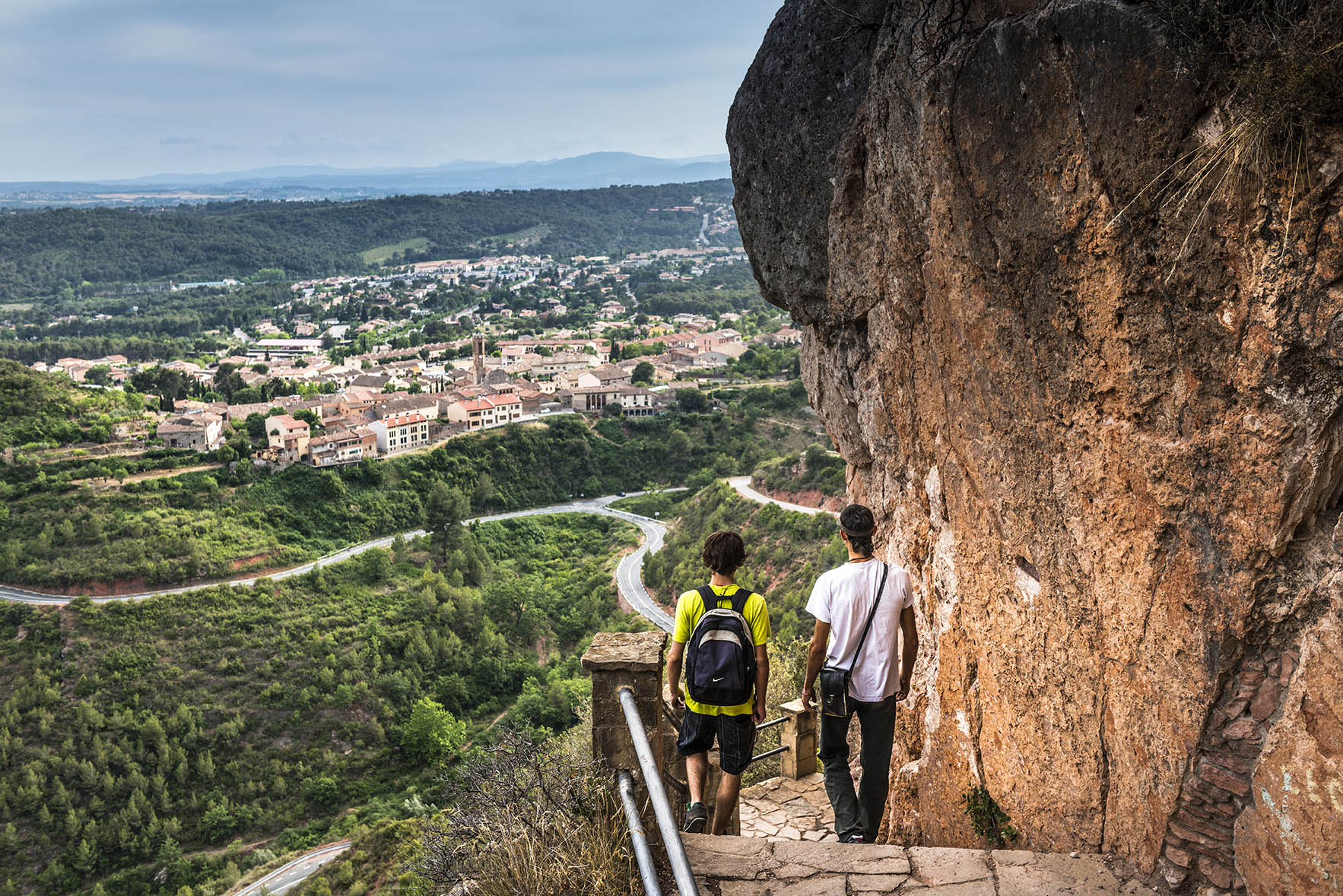
Arriving in Collbató, from the viewpoint of the Balcó a Montserrat, we will enjoy views of La Salut, the Montserrat Massif, and the path to the Coves de Salnitre that we descended. It’s time to rest for a while, taking a stroll through the old town, just nearby.
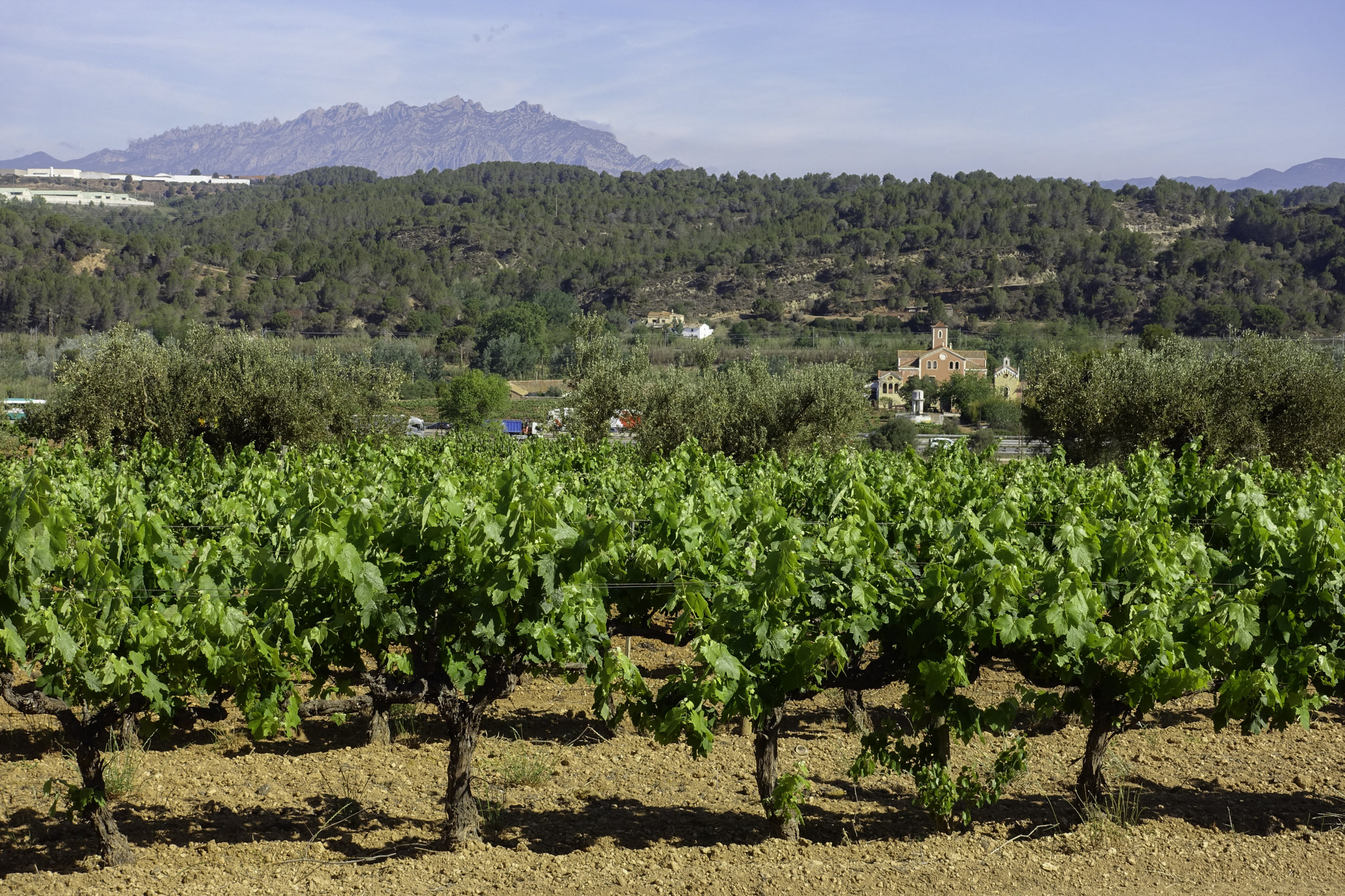
We will continue towards Esparreguera, descending the Prelitoral Range. After crossing the town of Esparreguera to the west, we’ll enter the Prelitoral Depression, near Anoia. Without entering the plain of Anoia, we will absorb part of its landscape as we cross the cereal highlands above Abrera, heading towards Sant Esteve de Sesrovires.
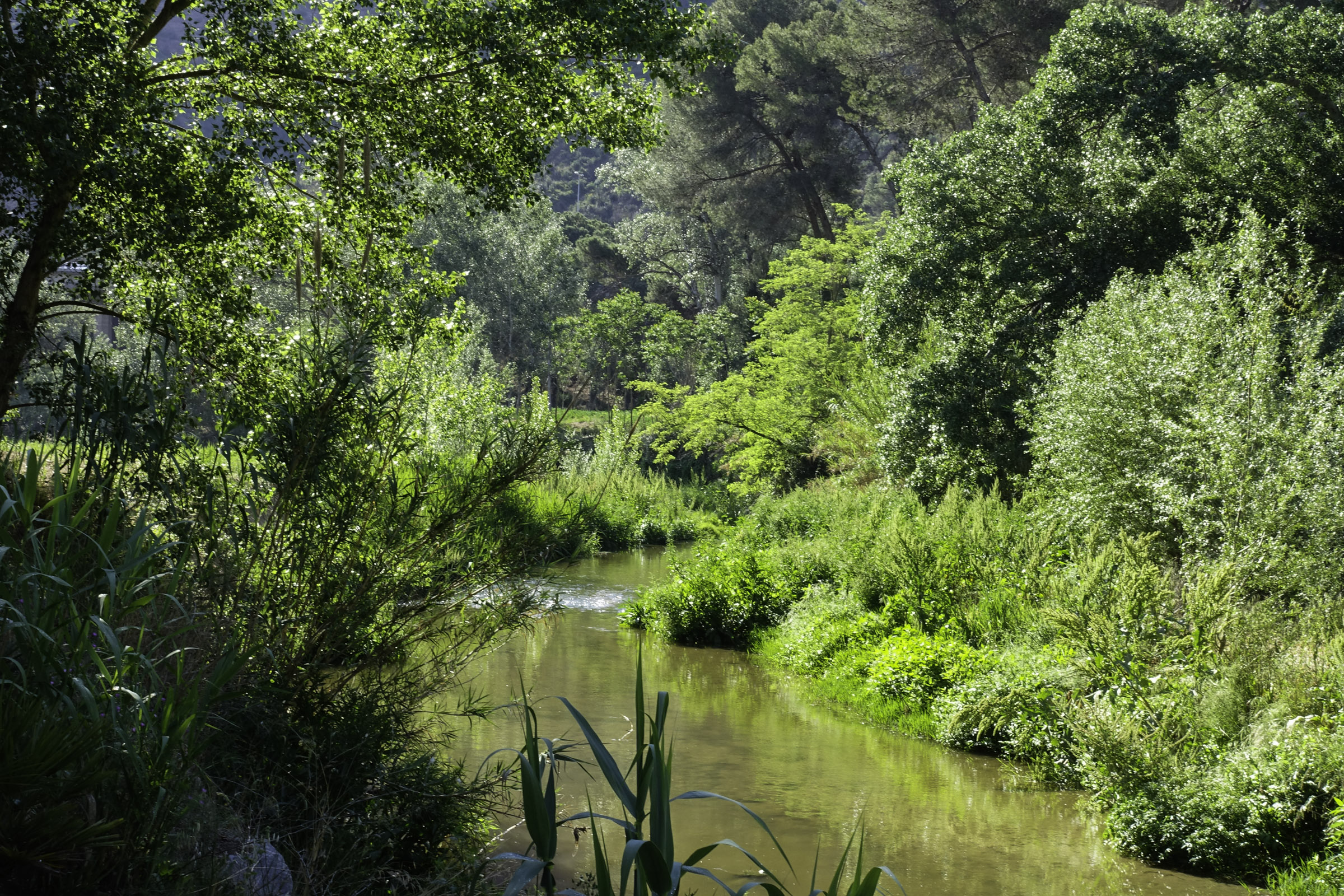
The streams and brooks, with their lush and tender vegetation, cut through these small highlands. We will follow a beautiful example through the Torrent de Sitges to Sant Esteve de Sesrovires, and from there, we will begin a gentle descent towards the foothill where the Anoia River flows into the Llobregat: the red Serra de l'Altaix in Martorell.
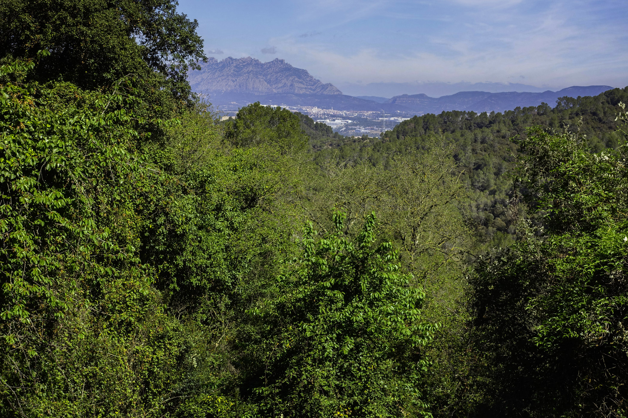
We cross the Anoia River and prepare to cross the Serralada Litoral through Castellví de Rosanes towards Corbera de Llobregat. The landscape changes completely, and now, having left the vineyards of the Anoia valley, the forest cover becomes continuous, almost all the way to the town of Viladecans. In the Llobregat Valley, this mountain range is known as the Muntanyes d'Ordal, and further west, near the Penedès, it is the Serra del Garraf.
We will climb and descend the passes separating the towns of Castellví from Corbera, Pallejà, La Palma de Cervelló, Cervelló, Torrelles de Llobregat, Sant Climent, and finally Viladecans. Red cliffs in Corbera; spectacular views from the viewpoint over Pallejà, the jewel of Santa Maria de Cervelló, and a series of heritage elements dot these Muntanyes d'Ordal, looking out over the Llobregat.
Occasionally, we will find little corners with orchards and fruit trees near the brooks of Corbera and La Palma. Passing through Torrelles and Sant Climent, we’ll see the slopes of l'ermita of Sant Ramón, which are remnants of the cherry orchards that once covered the area. Inside the forest, we will notice dry-stone walls and terraces that tell the story of agricultural dominance, especially of vineyards, before the white pine forest overtook everything.
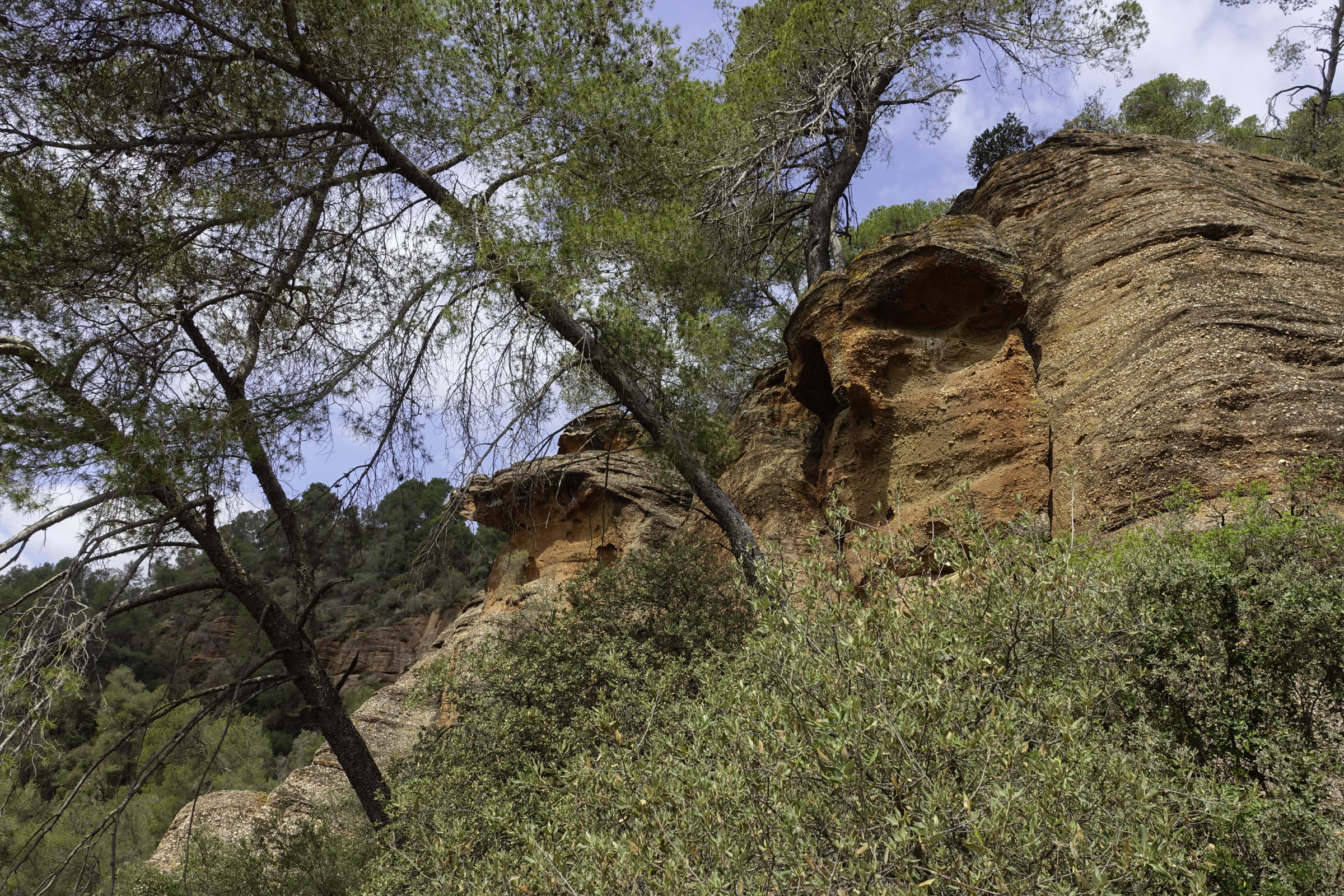
We will also notice the uniqueness of the ground we are walking on. Notice how we pass from the plain with brown sedimentary stones and pebbles to the mountain with white karstic rocks, red sandstones, conglomerates, or gray limestone and schists.
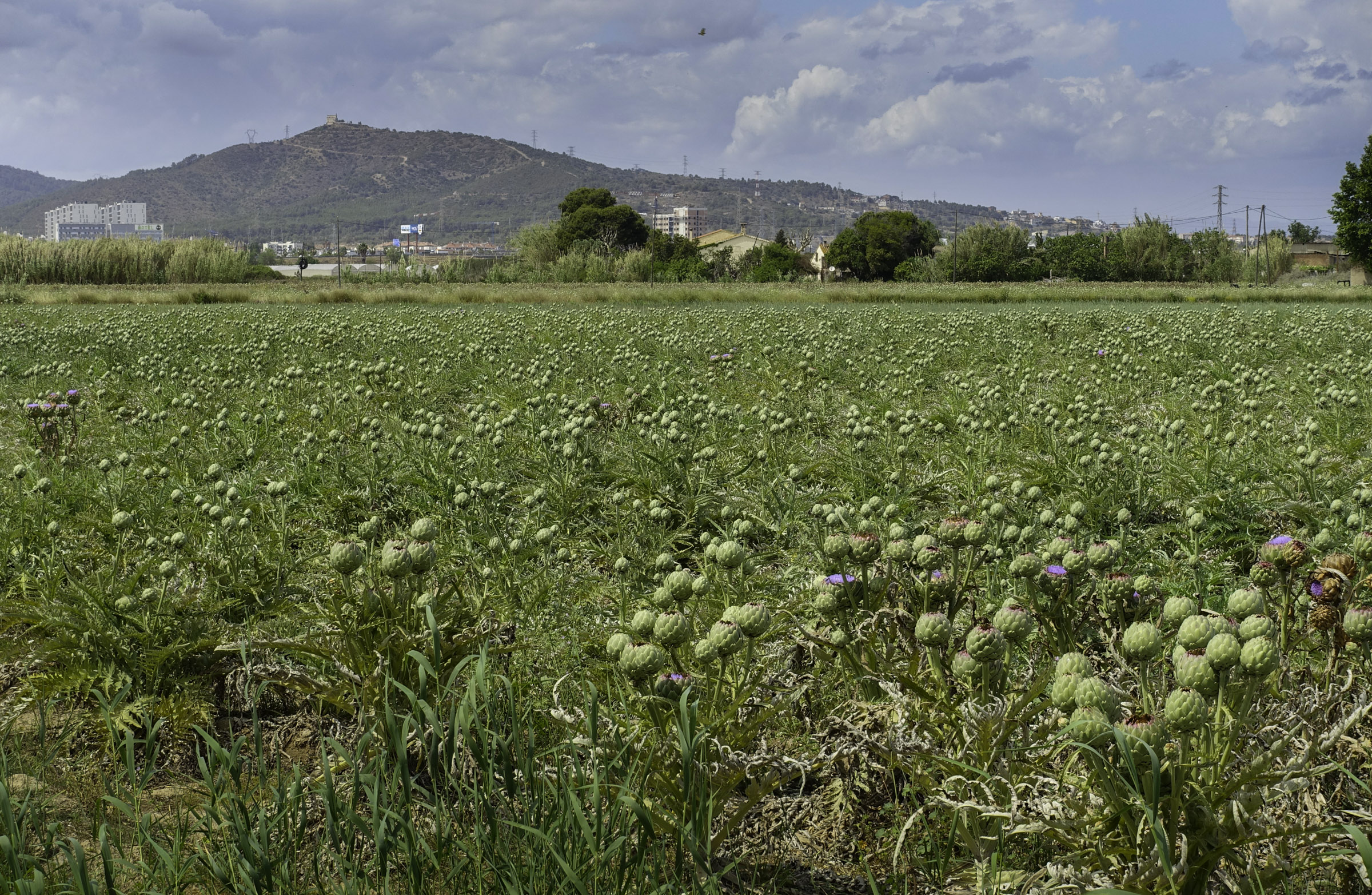
Finally, we reach Viladecans, at the foot of the Litoral Range, with views of the sea, and we still have to discover the third geographical unit of the route: la Plana Deltaica del Llobregat.
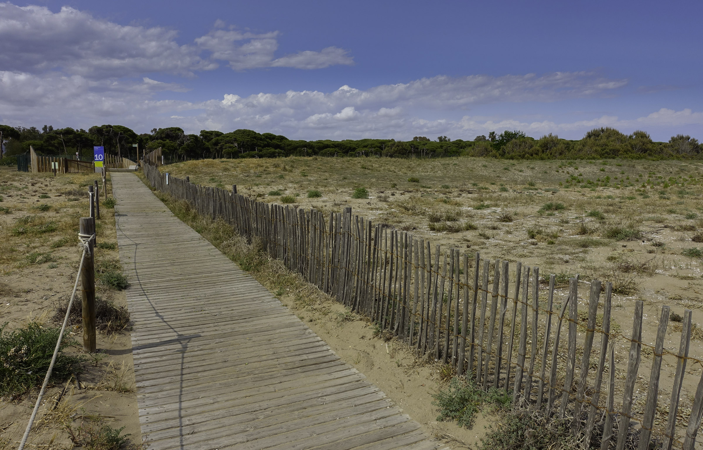
Now, along del camí de les Filipinas, we will cross the entire plain of vegetable fields until we reach the protective coastal pine forest. On the other side of this strip of pine trees, we’ll find the dunes and the beach
Technical sheet
Points of interest


ROUTE
- It is advisable to divide the route into several stages adapted to your physical level. Keep in mind that you will be walking at 4 km per hour, and for every 300 meters of uphill elevation, you need to add one more hour of walking.
- The ascent and descent of Montserrat Monastery require considerable effort.
- The first part of the route has steep slopes, and in some sections, it is exposed.
- Often, the uphill path fades away. Don't worry. Follow the track or go where it’s easiest for you. There are also paint marks along the way.
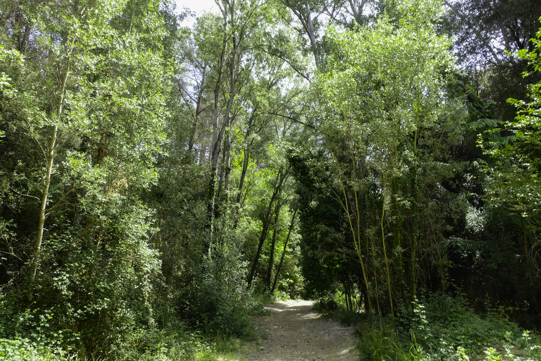
- For the rest of the route, we will mostly follow dirt tracks, with a smaller percentage of urban paved sections and footpaths.
- In Corbera, you may encounter a short section of the stream with thick reeds. In this case, just take the paved street above and then reconnect with the track right after.
- If you have an overview of the track, you may find possible shortcuts.
- The flags will guide you with information on your location and the direction to follow. If there are no flags at a crossing, stay on the main track and check the warnings on the track via your phone.
- It’s best to have the route downloaded for offline use.
- Although we will come across path markings like GR or SL, don’t worry; it’s better to follow the track and the flags. Paths of the Baix Llobregat. Eix de Ponent (EPO).
- Save as much battery as possible on the phone you are using for navigation.
WATER
- There are water sources in the towns you pass through.
PRECAUTIONS
- Be careful on the cliffs and exposed narrow paths with steep slopes in the first stage of the route.
- The climb from Monistrol has some exposed sections that should be navigated with caution.
- From the Monastery to Collbató, there are steep descents where you need to be careful with your footing.
- Pace yourself. Especially on the first section from Monistrol to Collbató.
- Motor vehicles circulate in urban areas but also on some forest tracks.
- Don’t forget to eat and, most importantly, drink.
- Respect private property and the natural environment.
- Do not leave litter on the trail.
- Beware of flood-prone fords if it has rained (Masquefa, Corbera, Cervelló).
- Be extra cautious with young children in the first section of the route: Monistrol-Collbató
WEATHER
- Check the weather forecast.
- Cloudy days may detract from this outing.
EQUIPMENT
- Comfortable footwear and clothing appropriate for the season.
- Sunscreen in summer.
- A small first aid kit for blisters and chafing wounds.
- Trekking poles can be very useful.
- A camera and access to a map to know where you are in case you need to find a shortcut.
OTHER EQUIPMENT
- Montserrat and the Monestir
- Coves de Salnitre.
- The old town of Collbató.
- You will find picnic areas in Sant Esteve de Sesrovires: Parc Canals and Nubiola; in Martorell, the Can Cases Forest Park.
- Upon entering each municipality, you will find a route information board.
- Along the way, there are poles with flags indicating your location, nearby points, and possible route variations..